A Comprehensive Guide to Civil 3D: Tutorial for Beginners
AutoCAD Civil 3D, developed by Autodesk, is a powerful software suite designed specifically for civil engineering and infrastructure design projects. Whether you’re a budding civil engineer, a surveyor, or a construction professional, learning Civil 3D opens doors to a world of possibilities in the realm of civil engineering design. In this extensive tutorial, we’ll provide a comprehensive overview of Civil 3D, covering essential concepts, basic functionalities, and practical exercises to help beginners get started on their journey to mastering this versatile software.
Introduction to Civil 3D:
AutoCAD Civil 3D combines the familiar drafting tools of AutoCAD with specialized features for civil engineering design and documentation. It enables users to create, analyze, and visualize civil engineering projects, including roads, highways, subdivisions, drainage systems, and more, with precision and efficiency. Civil 3D incorporates intelligent objects, such as alignments, profiles, and corridors, that dynamically interact with each other, facilitating the design process and improving project coordination.
Getting Started:
1. Installation and Setup:
Start by installing Civil 3D on your computer following the instructions provided by Autodesk. Once installed, launch the software and configure settings such as units, drawing templates, and workspace preferences to suit your workflow.
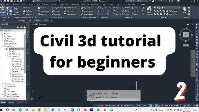
2. Interface Overview:
Familiarize yourself with the Civil 3D interface, which consists of various panels, toolbars, and palettes organized for efficient access to commands and tools. Key components include the Ribbon, Tool Palettes, Prospector, and Drawing Area, each serving specific functions in the design process.
Essential Concepts:
Before diving into practical exercises, it’s essential to understand some fundamental concepts that underpin Civil 3D’s functionality:
1. Object Types:
Civil 3D introduces several intelligent objects, including:
- Alignments: Represent linear features such as roads, railroads, and pipelines.
- Profiles: Depict vertical surfaces along alignments, such as road profiles or sewer lines.
- Surfaces: Capture the topography or terrain of a project site.
- Corridors: Model the cross-sectional geometry of linear features, such as roads or highways.
- Assemblies: Define the components and subassemblies used in corridor modeling.
2. Civil 3D Workflows:
Civil 3D follows specific workflows for tasks such as:
- Survey: Importing, managing, and processing survey data.
- Design: Creating alignments, profiles, and surfaces to develop project geometry.
- Analysis: Conducting engineering analysis, such as grading, earthwork, and hydrology.
- Documentation: Generating plan sheets, sections, and reports for construction documentation.
Basic Functionalities:
Let’s explore some basic functionalities and commands in Civil 3D through practical exercises:
1. Creating an Alignment:
Begin by creating a simple road alignment using the Alignment command. Define the alignment’s horizontal geometry by specifying tangent and curve segments, adjusting parameters such as radius and length as needed.
2. Designing a Profile:
Next, create a profile view along the alignment to represent the road’s vertical geometry. Use the Profile Creation tools to input elevations at specific stations, incorporating vertical curves and grade breaks to achieve the desired profile shape.
3. Generating a Surface:
Generate a surface model to represent the existing topography or terrain of the project site. Import survey data or manually input elevation points to define the surface boundary, then use the Surface Creation tools to generate a TIN (Triangulated Irregular Network) or grid surface.
4. Corridor Modeling:
Explore corridor modeling by creating a simple road corridor along the alignment. Define the corridor’s components, including baseline, regions, and targets, then use the Corridor Modeling tools to generate a 3D model of the road’s cross-sectional geometry, complete with pavement, shoulders, and slopes.
5. Quantity Takeoff:
Conduct a basic quantity takeoff to estimate earthwork volumes within the corridor model. Use the Quantity Takeoff tools to calculate cut and fill quantities, generating reports and visualizations to analyze earthwork distribution and optimize grading designs.
Advanced Techniques:
Once you’ve mastered the basics, consider exploring advanced techniques and functionalities in Civil 3D:
- Subdivision Design: Designing residential or commercial subdivisions, including lot layout, grading, and infrastructure design.
- Hydraulic Analysis: Analyzing drainage systems, culverts, and stormwater management using Civil 3D’s hydraulic analysis tools.
- BIM Integration: Integrating Civil 3D with Building Information Modeling (BIM) platforms for interdisciplinary coordination and collaboration.
- Customization: Customizing Civil 3D’s interface, templates, and workflows to suit specific project requirements and organizational standards.
Resources for Further Learning:
To continue your journey in mastering Civil 3D, consider exploring the following resources:
- Autodesk Documentation: Access Autodesk’s official documentation, tutorials, and learning resources available on their website.
- Online Courses: Enroll in online courses and training programs offered by Autodesk Authorized Training Centers or reputable e-learning platforms.
- User Communities: Join online forums, user groups, and communities dedicated to Civil 3D users to seek advice, share experiences, and learn from fellow professionals.
- Practice Projects: Undertake practice projects or real-world assignments to apply your skills and gain practical experience in Civil 3D.
Conclusion:
In conclusion, mastering Civil 3D opens doors to a world of opportunities in civil engineering design and documentation. By familiarizing yourself with essential concepts, exploring basic functionalities, and practicing practical exercises, beginners can lay a solid foundation for their journey to becoming proficient Civil 3D users. With dedication, practice, and ongoing learning, you’ll unlock the full potential of Civil 3D and harness its capabilities to tackle diverse civil engineering challenges and contribute to the development of sustainable infrastructure for future generations.